LARA Project
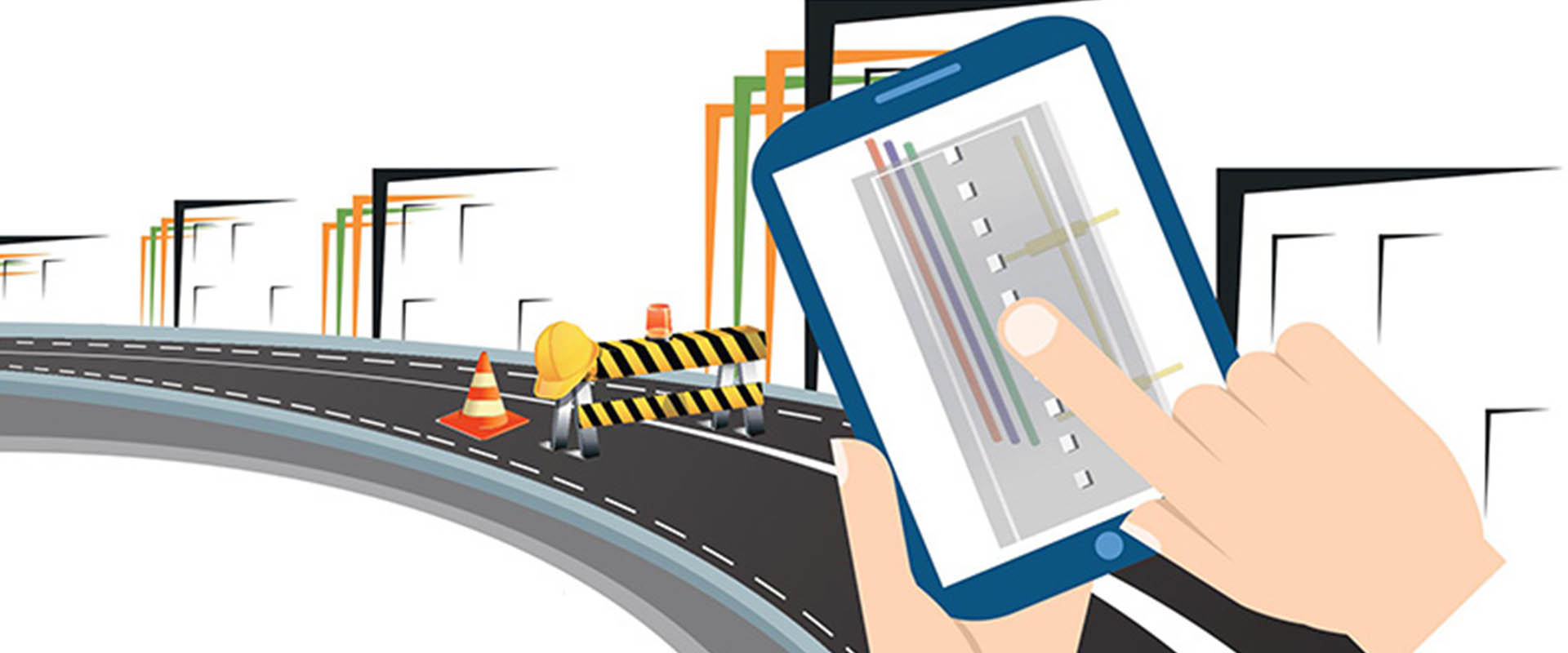
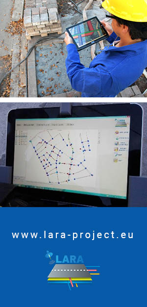
LARA project, “LBS Augmented Reality Assistive System for Utilities Infrastructure Management through Galileo and EGNOS”, will develop a mobile device to assist the utility management professionals on the field. The hand-held, low cost, mobile device will integrate state-of-the-art technologies in the domain of positioning and sensors (GNSS), Augmented Reality (AR), 3D GIS geo-databases.
The LARA system will guide utility field workers by helping them ‘see’ beneath the ground, rendering the complexity of the 3D models of the underground grid such as water, gas and electricity.
MORE ABOUT PROJECT
99
PARTNERS
99
Project Duaration (months)
99
Countries involved
Latest News

LARA project wins Madrid Challenge of the European Satellite Navigation Competition, ESNC 2017
November 14, 2017
It is a great honour to announce that our Horizon2020 project LARA, won the Madrid Challenge of the European Satellite Navigation Competition, ESNC 2017. GeoImaging from Nicosia, coordinator... 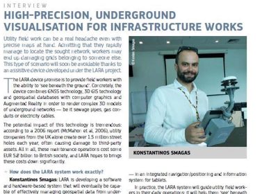
Galileo applications: what lies ahead – Presentation of LARA project at the February 2017 issue of research*eu results magazine
March 14, 2017
Mr. Konstantinos Smagas of GeoImaging Ltd, coordinating party of LARA project, gave an extensive interview on the LARA project developments and forthcoming results, at the 59th issue of the ... 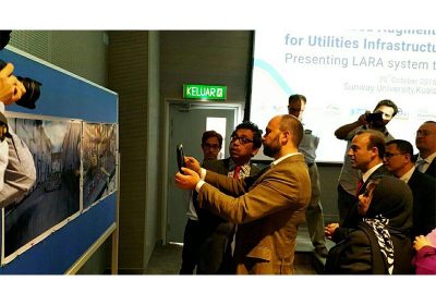
LARA special session within VSMM 2016 in Kuala Lumpur Malaysia: presenting LARA system to South East Asia
November 30, 2016
A milestone event for LARA project took place the 20th of October in the Malaysian capital Kuala Lumpur under the framework of the VSMM 2016 conference organised from 16 to 21 of October... Project Partners


Project Coordinator
GeoImaging ltd | www.geoimaging.com.cy | Nicosia, Cyprus